Civil Geeks: UH Gets $20 Million To Study Fresh Water Aquifers
The award, from the National Science Foundation, will be used to better map the flow of water through Hawaii’s aquifers.
You won’t find any argument among scientists, policy makers and the general public that fresh water is an extremely important natural resource.
I would argue that clean water is more important than oil, right up there next to clean air. And in Hawaii, we are especially blessed with some of the best water in the world.
Barry Usagawa, the administrator of the Honolulu Board of Water Supply’s Water Resource Program, told me, “Oahu’s drinking water quality is one of the best in the nation. Our fresh water comes from basal groundwater that is naturally purified, has high clarity and low mineral content, (is) very stable and needs very little treatment. Oahu’s drinking water is as nature provides it to us.”
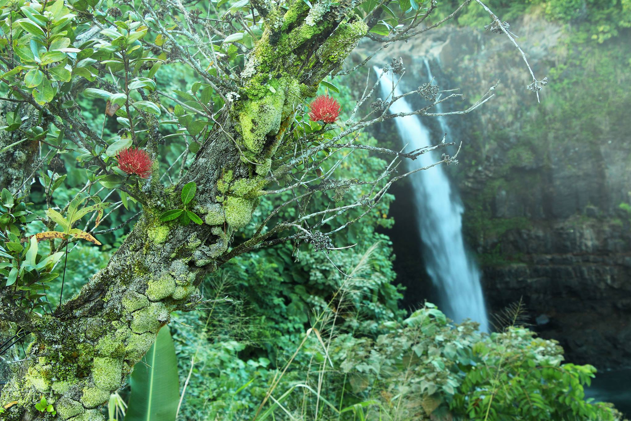
Our mauka forests and volcanic soil are well suited as a filtration system for rainwater, as it seeps through to underground freshwater aquifers. This process is slow, taking about 25 years for the rain water to journey through the mountain to form pools, or lenses, on top of salt water pools.
The added salts and minerals in ocean water makes it denser than fresh water, enabling fresh water to float on top of the salt water. That is why it is much easier to swim, float and tread water in the ocean than in a pool. The Honolulu Board of Water Supply pumps the water from these aquifers and distributes it to communities on Oahu.
I, for one, take a lot of this for granted. Turn on the faucet and out comes fresh, clean, spring-like water. The water from my home’s tap tastes like bottled water, so I rarely buy it unless I am prepping for hurricane season. I hardly give our fresh water a second thought and always expect it to be there. But water is a very precious natural commodity.
The National Science Foundation recognized this and awarded the University of Hawaii a five-year, $20 million grant to study the freshwater aquifers. This grant is part of the foundation’s Experimental Program to Stimulate Competitive Research.
The project name, ‘Ike Wai, is derived from the Hawaiian words for knowledge (‘ike) and fresh water (wai). With new data to test theories, the goal is to better understand the shape of the aquifers and the flow of groundwater from the mountain to the ocean.
Currently, we have a good understanding of the levels of water contained in the aquifers. During a recent visit to the Halawa Pumping Station, I could easily see the levels of the water drop from from the markers at 1954 to 1994. What are much less understood are the structure of the aquifer and how water is transported through the system of volcanic dikes, buried ash layers and massive lava flows.

With this project, ‘Ike Wai proposes to collect new geophysical and groundwater data to measure the aquifer geometry and interconnectivity of the Hawaiian volcanoes. It will then integrate these data into new models, to generate a “cyber-platform” for understanding subsurface water location, volume and flow paths.
Data collection and research will focus on two Hawaii aquifers, the 2.5-million-year-old Pearl Harbor Aquifer on Oahu and the younger 0.1-million-year-old Hualalai Aquifer on Hawaii Island.

The Pearl Harbor Aquifer system, which services approximately 600,000 island residents, consists of the Waimalu, Waipahu-Waiawa and Ewa-Kunia aquifers. Above the Waimalu aquifer sits the Red Hill Bulk Fuel Storage Facility, a series of underground fuel tanks, built in 1943, each with a capacity of 250 million gallons.
In 2014, an estimated 27,000 gallons of fuel leaked into the surrounding land. The impact of this leakage is unknown; and if it were to spread through the aquifer, current models cannot predict the flow path a contaminant would take, potentially affecting the neighboring Honolulu aquifer.
On the Big Island, the Hualalai Aquifer is relatively young, and current geophysical models are inadequate in predicting water flow and capacity.
“Recent research on the West Hawaii coast has shown that we do not fully understand the size, flow rates, and boundaries of our groundwater aquifers,” said Kim Burnett, Associate Specialist at UH’s Economic Research Organization, via email. “Without a clear understanding of how much water is available, we cannot properly plan future water use and management. There is currently a lot of debate over whether there is enough water to meet planned development, while ensuring the biological and ecological integrity of surrounding nearshore habitats.”
Research at both the Pearl Harbor and Hualalai Aquifer will yield new insights that will inform values, policies and practices for managing this resource. The cyber-platform will include leveraging the high-performance computing center for big data analysis, using it as a service platform for data sharing and management, and advanced scientific visualization for the rendering of complex 3D geophysical aquifer models and water flow diagrams.
“This is a compelling example of how the University of Hawaii is helping Hawaii and the world through our unique strengths and partnerships,” said UH President David Lassner, in a written statement. “It also exemplifies how we synthesize cutting edge research, education and traditional Hawaiian knowledge to address critical community issues, including through the utilization of modern cyberinfrastructure and data science.”