Another Road Won’t Help Waikōloa In A Wildfire Evacuation, Study Finds
Critics dismissed the new study’s findings while resolving to do more to protect the West Hawaiʻi community from wildfires.
If a wildfire threatened Waikōloa Village again, it would take over four hours to evacuate everyone from the community.
That’s according to a new study commissioned by the county. The study also found that a long-sought second two-lane road out of the village could actually slow down an evacuation.
Critics swiftly dismissed the findings after they were presented last week, pointing at how the consultants based their modeling on the wrong assumptions about what neighboring roads would or would not be closed to help facilitate an evacuation.
“The magic bullet’s gone. The bubble’s been burst,” Waikōloa Village Firewise Chief Mary Schramke said. “There’s a lot of really disappointed people.”
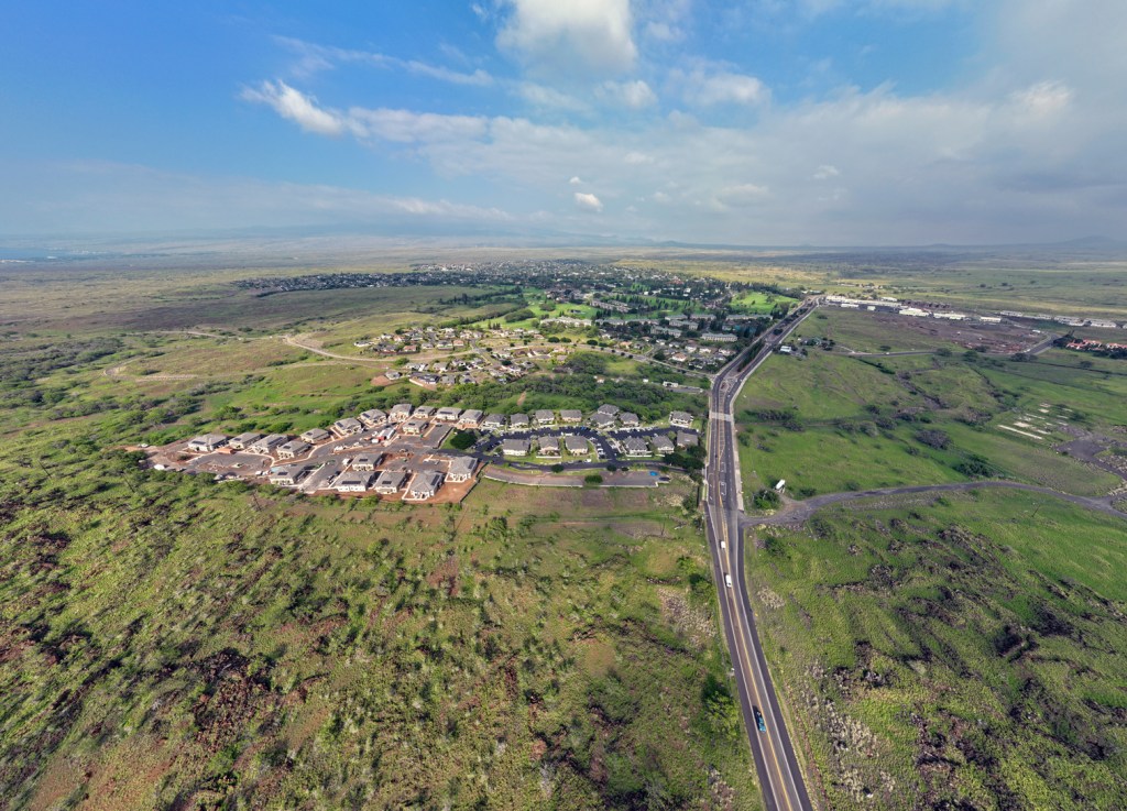
For more than a decade, Waikōloa residents have called on the county and state to build a new road to the north of the village to help evacuate some of the roughly 7,000 people who live in the growing West Hawaiʻi community. Advocates called it a vital route.
But as government officials drag their feet, the study’s findings have caused some to change their tune on the second road, saying it’s time to just focus their energy on different solutions, such as doing a better job of managing the dryland forest that surrounds the village.
The Waikoloa Village Evacuation Traffic Study was contracted by the Civil Defense Agency last year with funding from the U.S. Department of Housing and Urban Development. Consulting firm KLD Associates completed the study and presented its findings at a community meeting last week.
The study found that “the available roadway supply is not sufficient to service the evacuation demand within the community in a timely fashion.” It would take an average of 4 hours and 35 minutes for the last vehicle to leave Waikōloa, according to the study, assuming that traffic would not be stopped or diverted at any point, with the exception of northbound traffic on Hawaiʻi Belt Road to allow responders to fight a fire.
Waikōloa Village has a greater risk of wildfire than 92% of communities in the country, according to the USDA Forest Service. Flames have gotten close to the town numerous times in the last two decades. This month, a 200-acre wildland fire raged just yards away from homes and prompted temporary evacuations for buildings in the south of the village.
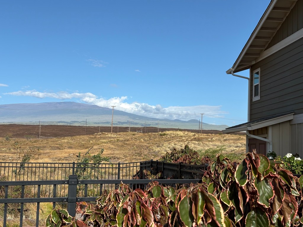
During the 2021 Mana Fire evacuations, some residents said they sat in traffic for nearly two hours to leave. With just two routes out — Waikōloa Road and a gated one-lane evacuation road — residents and the county long assumed another road was necessary to clear out the village in an emergency.
The county’s community development plan for the village said a second road “may well prove to be the difference between successful evacuation of the Village and injuries and even loss of life.”
But the study found that a second, two-lane road could increase the evacuation time by 10 to 25 minutes because of added congestion on Queen Kaʻahumanu Highway. Matt Chalker, founder of Waikōloa Wildfire Safety Advocates, doubts that finding.
“The data and the assumptions that were provided by the county, in some cases, were flat out wrong,” Chalker said.
In the study, it was assumed that Queen Ka‘ahumanu Highway would be open to all traffic. KLD Associates Program Director Rebecca Cohen said the highway was kept open in the study because of information provided by the county.
Had the study been done without that assumption, Chalker said, a second road would not have increased the evacuation time.
The study’s main findings also assumed Waikōloa Road would be open to traffic going east toward Hawaiʻi Belt Road. But the eastbound road was closed in the 2021 fire and during the most recent fire to allow access for first responders.
“The numbers were stark even with these assumptions,” Chalker said. “It’s still not enough time. It’s not even close to enough time.”
The study’s authors tested to see how certain road closures would affect evacuation times. In a “what if” scenario, the study found that if eastbound traffic on Waikōloa Road was closed, it would increase evacuation times by three hours.
In another scenario, the study found that if traffic were controlled on Queen Kaʻahumanu Highway to allow just evacuees, it could decrease times by 40 minutes to an hour. That test, the study said, highlights the importance of establishing access control to free up capacity for evacuees.
“That’s the best finding,” Cohen said. And the county already has strategies to do it. Traffic on the highway is diverted during the annual Kailua-Kona Ironman, she added.
“It’s not like you have to develop a plan to do it. It’s there. You’ve done it. You just have to execute it,” Cohen said.
A second road that doesn’t connect to Queen Kaʻahumanu but instead to another highway, she said, could also decrease evacuation times. Adding additional capacity to roadway systems, such as widening a road, or decreasing the number of vehicles evacuating by encouraging residents to take one car, she said, will also decrease the time it takes to clear the village.
The study did not test evacuation times if there were a second road and traffic were controlled on Queen Kaʻahumanu. Chalker said he’d like to see the county use the remaining money to test that scenario. The study cost about $100,000, according to county spokesperson Tom Callis. The county is evaluating how to use additional grant funds, Callis said, to apply the traffic study results to improve community safety.
“Go back and redo the thing, rerun a few of the scenarios with better assumptions that actually reflect the reality, and most importantly, that actually engages the community,” Chalker said.
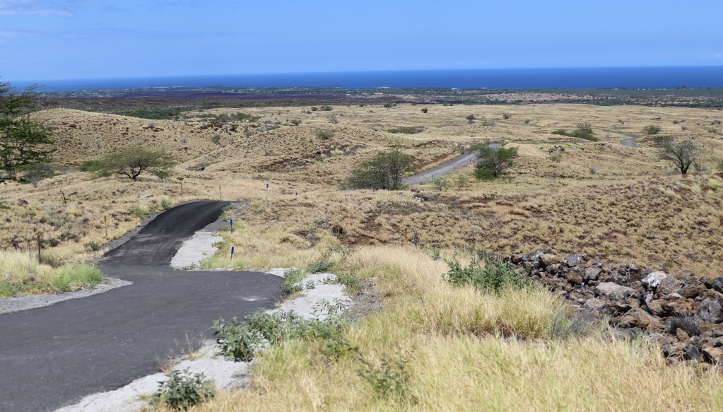
The state is still building a second, one-lane evacuation route off Kamakoa Drive in the north of the village. Construction started last week, according to the county, after it received the right of entry agreements from landowners.
“This evacuation route will provide a third way out during a disaster and reflects our commitment to public safety,” Mayor Kimo Alameda said in a press release last week.

But some residents say the study showed that a second road isn’t enough to save lives. Chalker and Schramke said there’s more the village can do to slow the spread of fire and prevent death.
“The solution is really people. It’s not a road. The root cause of why we have to leave is the fire,” Schramke said. “We already know that if fire comes, you can slow the spread by minimizing the fuel.”
For years, the Firewise group in Waikōloa have been working towards decreasing the fuel load in and around the village. They’ve set up firebreaks, got funding for a dip tank near the village — a large pool that firefighters can access from the air — and advocated for residents to harden their homes and reduce the vegetation in their yards.
“People need to know that they own the fuel, so they own the fire,” Schramke said.
Homes in the village are landscaped like many Hawaiʻi houses – with ferns and bushes and trees surrounding the property. While it is a staple of island homes, the flora turns into fuel during fires.
Homeowners could increase the likelihood that their home doesn’t burn by nearly 60% by having a Class-A roof with covered gutters, double-paned windows, one-eighth inch mesh screening over vents and no combustibles within five feet around the house, according to a 2025 study by Insurance Institute for Business & Home Safety on the Los Angeles wildfire.
The Waikōloa Firewise group and the Hawaiʻi Wildfire Management Organization have been trying to get information out and offer financial support to help residents retrofit their homes. But it’s fallen largely on deaf ears, Schramke said.
“We just need more people to do it and people need to understand that we need to look at homes as part of the problem,” she said.
The county could help with that, Chalker said. Declaring the village a Wildland Urban Interface would require a structure and wildfire hazard assessment and a new mitigation plan as well as put in place building codes that ensure homes are hardened and protected from spreading fire.
“The most important thing that (the county) can do is change the regulations and the rules so people’s houses are safer,” Chalker said. “So if the village doesn’t burn as fast, or doesn’t burn at all, people won’t have to get out as quickly, or they won’t have to get out at all.”
Focusing on a longterm plan for protecting the village from fire should be the county and community’s top priority, Schramke said.
“We need a more strategic, longterm plan that’s not just one thing,” Schramke said. “It’s not just the second road. It’s where do we put dip tanks? How do we harden up? How do we manage vegetation on a regular basis?”
This investigation was supported with funding from the Data-Driven Reporting Project. The Data-Driven Reporting Project is funded by Arnold Ventures and the Google News Initiative in partnership with Northwestern University | Medill.